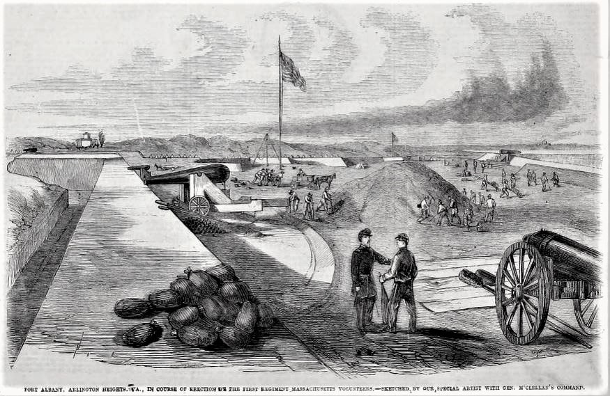
Below is an 1861 drawing, printed in Frank Leslie's Illustrated Newspaper on 31 August 1861, while it was still being constructed. The Arlington House is in the background, on the left, while the Potomac River and the White House are in the distance on the right side of image.
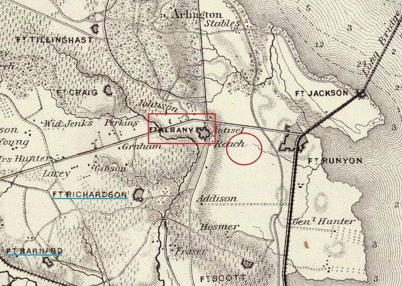
1862 Map of N. Eastern Virginia and vicinity of Washington -[LoC or Rumsey]
Defenses of Washington Marker Series [Fort Albany on Flickr]
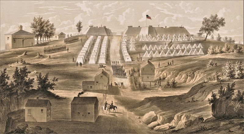
Fort Albany at Arlington Heights, 1861 (E.F.Ruhl, Publisher - LoC site)
Frank Leslie's Illustrated Newspaper, 31 Aug 1861 [Vol. XII, pg. 253]
The Historical Marker Database: Fort Albany


 RSS Feed